

THE FIFE COASTAL PATH
PART 1
KINCARDINE TO CULROSs
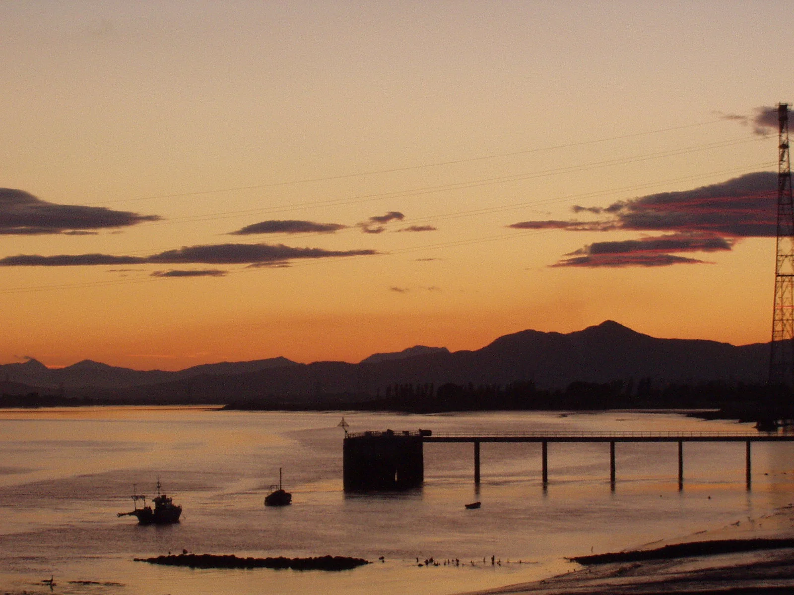
Looking west: the view from Kincardine Bridge before the building of the Clackmannanshire Bridge
After completing the John Muir Way and feeling good about it, it seemed to be a good idea to keep on walking. JMW had been completed with Neil who is well on the way to completing the Munro’s'. Neil , had completed the FCP to St Andrews some time ago. So, I aimed to do it solo to St Andrews, and he and I could do the last couple of legs from St Andrews to Newburgh. Good plan. As it turns out, exceptional plan. The FCP is a great walk.


The road to Culross, passing Inch House: looking east to Longannet
The history of industrial development in Scotland needs to understand the importance of coal. King coal. The power station at Longannet was the last coal-fired power station in Scotland, in its heyday receiving coal directly from local coal mines by belts feeding the power station from the Castlebridge pit through a tunnel over 5 miles long.
The Coastal Path involves walking by or through the sites of coal pits along the north shore of the forth: the mine that fed Longannet was extended to meet under the Forth a mine extended out from Bo’ness on the south shore of the Forth. Longannet will fall soon (it is now 2019), the final chapter in a story that had its endgame with the ‘80s miners strike with its violence and anger.
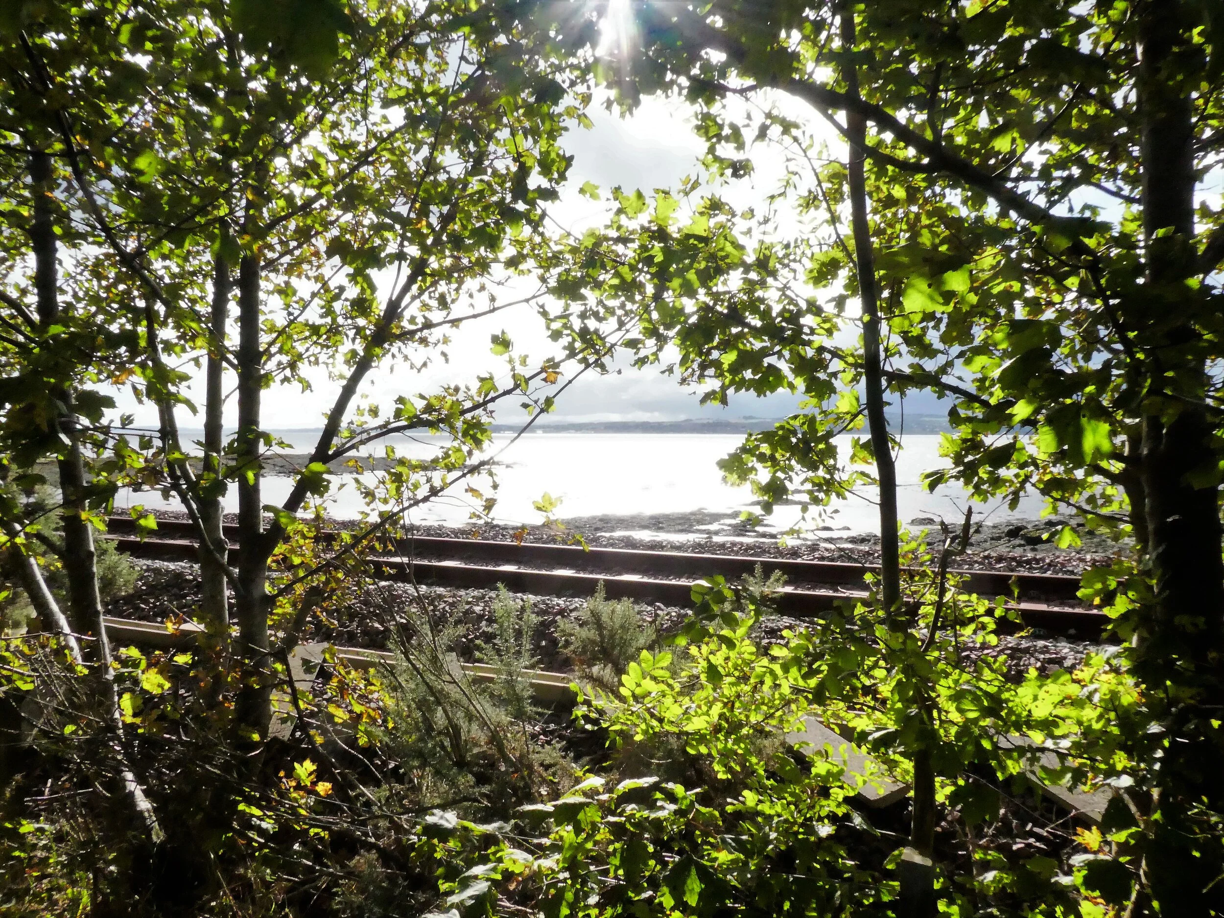
The railway line to Crombie Point
After 1932 (when the Kincardine Bridge was completed), Kincardine was the first road crossing of the Forth. Kincardine had previously been the ferry crossing point for cattle driven down from the north. Cattle were ferried across the Forth to reach the Falkirk Tryst cattle market, in its last guise at Stenhousmuir. Crossing the Kincardine Bridge at Higgin’s Neuk the ferry quay timbers can still be seen sticking out of the mud .
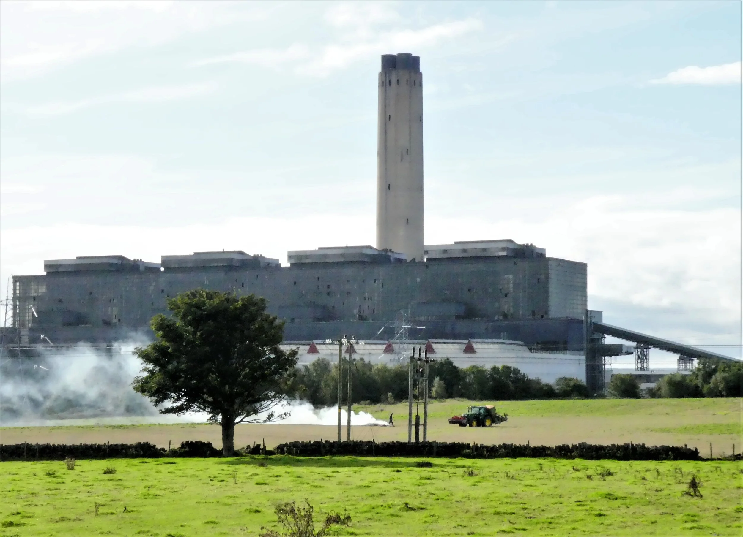
Longannet - decommisioning 2018
Longannet was also served by a railway line which had closed sometime between then and now. It was reopened after the milenium when the line from Alloa to Stirling was reopened. However, the line continues to exist, connecting on the map with Dunfermline and Crombie Point which deals with munitions. The FCP route follows the line as it passes through scrub and trees to be revealed in all its glory as it emerges at Culross
On the day, the walk to Culross was not without incident. Walking up to Longannet I was aware of some kind of ghetto blaster booming out, which was a little strange. There were no houses in the immediate vicnity, and the music appeared to be getting closer. Turns out that fifty plus Dutch cyclists were being entertained on the ride by following a tranist van with back doors open pushing out the music.
There was sufficient clues on the van to know it was Dutch, so I gave them a good morning in my very best Dutch “hoe gaat het”! Good response!
There was no pain in walking solo, and there is a freedom in walking solo; there is also pleasure in experiencing the unexpected such as the Dutch cyclists (below).

The route to Culross: A random unexpected Dutch Peloton, complete with speaker van and music.

Culross - the car park
Around Culross
Ever tried having a conversation with a conga line with wheels? Fun.
See this walking lark? You see a lot, but at the end of the day and as a member of the human race, the important part seems to be the contact with others, face to face or seeing the traces of them passing through.

So I arrived in Culross, just a short walk although lack of familiarity with buses which are anyhow quite sparse on the route through Culross. Consequently, I walked back to the car in Kincardine.
In the 17th century, this small, pretty place was a hive of industry. Monks had been mining coal under the Forth for a hundred years or more, with coal being a key element in the production of salt, an essential preservative. Coal and water were necessary to salt, and were consequently a source of great wealth. The role of coal, running under the earth and the Forth, would be a major theme in the walk with all kinds of monuments to an industrial history, mines.A visit to the “Palace” in Culross is an excellent idea. Culross is in itself almost an National Trust for Scotland NTS property, with large parts of the town being made up of renovated period houses. Culross was once a thriving Burgh, with income derived from mining and salt pans, and there are good displays in the Palace itself, as well as the surrounding town. The volunteers minding the place are knowledgeable and helpful, highlighting the inside of the building. I had expected something bland and sanitised, but the wooden, shaped cladding with faded painting and decoration were suprisingly elegant in their homespun way.
The merkat cross is, well, old and the ruined Abbey is well, ruined.

The Palace

The Jetty

The view ahead from the Abbey, looking south east over the Valleyfield ash lagoons.


The Lockit Well

The Mercat Cross, Culross
And for an encore, the way forward. The view is from the hill by the Abbey, looking east over the ash lagoons from Longannet power station. They have now become a managed sanctuary for wildlife.