

THE FIFE PILGRIM WAY
part 7
CERES TO ST ANDREWS
17 November 2019
The final leg……

The Bishop’s Bridge


Dug # 2 - Sky

Beech Trees on the ridgeline

Traditional view of Neil’s rear

Folk Museum from the Bishop’s Bridge

Pilgrim Way Marker, Ceres
We walked up through Ceres, past the Museum, up to the road junction, past the school (Neil made a few pithy comments about the habits of youth in Ceres and Grangemouth, the effectiveness of anit-vandal paint and generally the need for nocturnal high voltage electric fencing in Grangemouth. Sadly, Neil can take things rather to heart.
We slipped through the snicket with its sign “Dogs on lead” which appeared to be more of a hint than a prohibition. The route follows the ridge eastwards and upwards and we met dog #2 of the collection: a very spaniel-ish spaniel called Sky
We exchanged greetings, hints and comments: Sky’s owner filled us in a bit about the locality, and we talked a bit about our experiences of the route. She told us that she had completed the route sections in each direction. This seems to be a feature of long distance walks: much of the traffic is local, and completers are in the minority. No harm, no foul there.

Neil, looking back archly
Basically, a cracking morning, bright sun, a bit cool but good walking weather

The route dives off to the north to follow a hedgeline past North Callange and turns eastwards, crossing the burn and heading up the long haul to the top of Duncarrow. We passed through a working farm, with the farmer setting out with a load of fodder for the coos. The Kinninmouth farm yard was patrolled by a shaggy border collie which circled suspiciously, and investigated. I held out my hand reassuringly; the dug growled unreassuringly. I withdrew my hand, carefully, and spoke firmly to the dog. Without stopping. The next doggy encounter was soon to follow: three barky lap dogs, all mouth and no brain. No photographs taken, just silly dogs. The owner did apologise, and there was none of the serious threat of the Collie, but not worth the trouble.
We caught up with the tractor driver and his load on the cusp of the hill. He left his engine running as he chivvied the coos, although the temptation to TWOC passed very quickly.
We continued up the track passing through a whole bunch of cows, with calves. Which can be worrying. But was fine. They just sort of looked, and shuffled. Neil did not repeat his conversation with the cattle and in fact talked more to the mud, maybe a little unfairly. I mean, mud can be useful. But anyhow we passed safely.

The hill flattens out, with the height of Duncarrow standing guard in the distance. Open space and views… we agreed that this was a fine place to be. The cows were fewer, as will be seen in the picture below. A brown cow (Broon Coo?), and a black one in the field. If the eye follows the track, the eagle eyed may spot another black cow. A young one.

Now, it has recently become clear that Neil has a fatal attraction for cows. I should have known: there is a precedent:

Neil exchanges pleasantries (Knoydart, 2010)

Spot the cow
The featured coo is ringed. It was one of those “long view from a distance and still can’t avoid it things” and the black cow was trapped. I will point out Neil is not a cow charmer. We walked around the cow the wrong way. But it worked
The view from the hill was a fine one, but difficult to catch on camera. Just one of those landscapes you need to be in to appreciate it. The hill itself looks over to St Andrews and the East Neuk and consequently has a long history including a broch and hut circles, and is a prime spot for the TV transmitter to spread its airways.
We lunched in the sun below Drumcarrow and chatted. A good day.
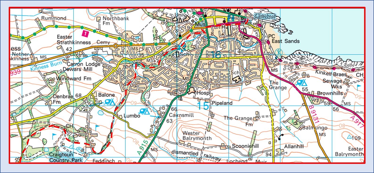
The next section is a section of road. Not a great deal of fun but in fairness the route has managed to avoid too much tarmac bashing. There are views across to th Tay before the route runs through Denhead. The route skirts the golf course by Craigtoun Country Park, through trees and giving views of St Andrews and the Coast. After walking past the admin building the route slips through the back door into St Andrews. The run in is throiugh Lumbo Den, a signficant gorge with huge trees, a secret kirk and a water way that runs through it all. It is a quiet way to slip in to St Andrews and approaching the Den almost has a sense of pilgrims apporaching the end of a long journey. Not that we two philistines aprreciated that, and indeed there was little to really create a notion of pilgrimage.

The Gates to St Andrews
So we marched east to reach the coast, following the main drag to St Andrew’s Cathedral, and assumed we had finished. Because we could see nothing that sai it was the end…..

The End?